Peterborough is a cathedral city in Cambridgeshire, in the East of England, north of London. The River Nene runs through the city.
This guide helps you locate Peterborough on a UK map, find city-centre landmarks and explore its neighbourhoods. It also explains how postcodes differ from council boundaries and where to find official maps.
If you are visiting, start with the city-centre places. If you are moving here, explore the neighbourhoods and follow the links to our local guides.
Where is Peterborough on a UK map?
Peterborough is in eastern England, within the ceremonial county of Cambridgeshire. It has its own unitary council, Peterborough City Council, which operates separately from Cambridgeshire County Council.
The UK locator map shows the city's position relative to London and Cambridge.
Maps showing where Peterborough is
Peterborough in Great Britain
Locator map of Great Britain with Peterborough marked at 52.5726° N, 0.2427° W, on the eastern side of England.
Map tiles © Esri, HERE and Garmin; map data © OpenStreetMap contributors. Open larger map
Peterborough with Cambridge and London
Regional map of eastern England showing Peterborough north of London, with Cambridge to the south-east and London to the south.
Map tiles © Esri, HERE and Garmin; map data © OpenStreetMap contributors. Open larger map
For a journey to a particular attraction, use its full address. Searching only for "Peterborough" will locate the city, but it may not take you to the entrance, car park or station you need.
Why do some sources describe its county differently?
Peterborough has historic links with Northamptonshire through the Soke of Peterborough. Modern Cambridgeshire was formed in 1974, and Peterborough City Council became a unitary authority in 1998.
For present-day geography, Peterborough belongs to the ceremonial county of Cambridgeshire. Its local-government arrangements are a separate matter.
Read about Peterborough City Council for an explanation of its status.
Peterborough city-centre map
Use the local map to find the railway station, Cathedral, shopping centre, museum and riverside. It has three sets of markers: city-centre places and transport, neighbourhoods, and parks and attractions.
Interactive map of Peterborough
Map tiles © Esri, HERE and Garmin; map data © OpenStreetMap contributors. Marker positions are read from OpenStreetMap place data. Neighbourhood markers are approximate area centres chosen for orientation, not official neighbourhood or council boundaries.
City centre & transport
- Peterborough mainline railway station (52.5745° N, 0.2499° W) — National Rail: Peterborough station
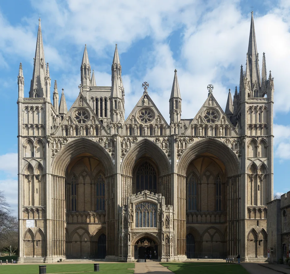
- Peterborough Cathedral (52.5725° N, 0.2395° W) — Peterborough Cathedral: opening times
- Queensgate Shopping Centre (52.5740° N, 0.2452° W) — Queensgate Shopping Centre
- Peterborough Museum and Art Gallery (52.5717° N, 0.2461° W) — Peterborough Museum: plan your visit
- Peterborough Embankment (52.5685° N, 0.2360° W) — Things to do in Peterborough
- Key Theatre (52.5687° N, 0.2385° W) — Key Theatre: what is on
Neighbourhoods
- Hampton (52.5379° N, 0.2730° W) — Living in Hampton guide
- Werrington (52.6128° N, 0.2746° W) — Living in Werrington guide
- Orton (52.5423° N, 0.2934° W) — Orton area page
- Bretton (52.5905° N, 0.2843° W) — Bretton area page
- Stanground (52.5531° N, 0.2245° W) — Stanground area page
- Fletton (52.5632° N, 0.2420° W) — Fletton area page
- Woodston (52.5645° N, 0.2612° W) — Woodston area page
- Dogsthorpe (52.5950° N, 0.2270° W) — Dogsthorpe area page
- Longthorpe (52.5714° N, 0.2853° W) — Longthorpe area page
Parks & attractions
- Ferry Meadows visitor centre (52.5630° N, 0.3070° W) — Nene Park: Ferry Meadows
- Central Park (52.5843° N, 0.2353° W) — Peterborough City Council: parks and open spaces
- Flag Fen visitor entrance (52.5742° N, 0.1910° W) — Flag Fen: plan your visit
- Peterborough Nene Valley railway station (52.5677° N, 0.2478° W) — Nene Valley Railway: stations
The places below provide reference points for planning a visit.
| Place | Why locate it on your map? |
|---|---|
| Peterborough railway station | Mainline rail arrivals and departures |
| Peterborough Cathedral | Historic landmark and visitor destination |
| Queensgate Shopping Centre | City-centre shopping |
| Peterborough Museum and Art Gallery | Local history and exhibitions on Priestgate |
| Peterborough Embankment | Riverside open space beside the Nene |
| Key Theatre | Performances and events |
Choose the actual destination when requesting directions. A marker in the middle of a building or open space may not identify its public entrance.
Where is Peterborough railway station?
The mainline station is on Station Road, Peterborough, PE1 1QL. Its station code is PBO.
National Rail's Peterborough station page provides a station map, onward-travel information and accessibility details.
Check current access information before travelling. Roadworks, station works or temporary restrictions can change your approach.
Peterborough Nene Valley station serves the heritage railway and is a different station. Check the departure point shown on your ticket.
Peterborough neighbourhoods and areas
A city-centre map shows only part of Peterborough. If you are comparing homes, checking a work location or exploring the city, look at the surrounding neighbourhoods too.
The map includes markers for Hampton, Werrington, Orton, Bretton, Stanground, Fletton, Woodston, Dogsthorpe and Longthorpe.
Neighbourhood names do not always correspond to precise administrative boundaries. Use the markers for orientation, then check the exact address.
Hampton
Use our Living in Hampton guide to explore the area's housing, shops, parks and transport considerations.
When comparing properties, check the journey from the individual address to your workplace, school or regular destination.
Werrington
Our Living in Werrington guide covers local amenities, housing and practical moving considerations.
A neighbourhood map can help you locate facilities, but check the route on foot or by your usual transport before relying on proximity alone.
Comparing other areas
Read our guide to areas to live in Peterborough for a wider comparison.
Keep the map and property assessment separate. A convenient location does not tell you whether a particular home needs repairs, has adequate storage or suits your household.
Peterborough postcodes explained
Peterborough does not have one postcode covering the whole city. Individual addresses have full postcodes, while shorter codes identify wider postal areas and districts.
| Term | Example | What it identifies |
|---|---|---|
| Postcode area | PE | A broad postal area |
| Postcode district | PE1 | A subdivision of that postal area |
| Full postcode | PE1 1QL | The postcode listed for Peterborough railway station |
The wider PE postcode area extends beyond Peterborough city. A PE postcode does not by itself establish that an address falls within Peterborough City Council's boundary.
Postcodes are designed for mail delivery. They do not necessarily follow council, ward or neighbourhood boundaries.
Use the Royal Mail Postcode Finder to check an address. Use the council's official map when you need an administrative boundary.
How to use a Peterborough postcode map
A postcode map can help you understand broad locations, but it should not replace an address search.
Before arranging a delivery, property visit or maintenance appointment:
- Confirm the full address and postcode.
- Check the correct building or entrance.
- Add access instructions where needed.
- Confirm parking or loading arrangements separately.
Parks and attractions on the map
Ferry Meadows
Ferry Meadows is west of the city centre and forms part of Nene Park.
Use the visitor-centre location as a starting point, then check the appropriate entrance or meeting place for your activity.
The official Ferry Meadows page includes a downloadable map and information about arrival, parking and facilities.
Central Park
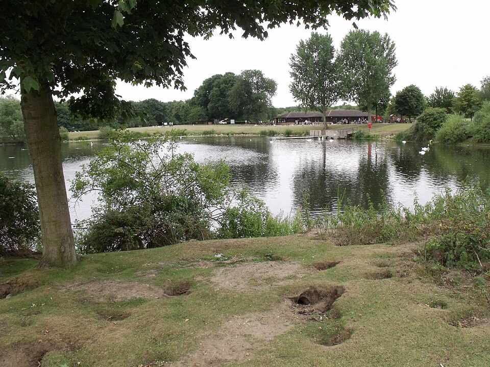
Central Park is north of the city centre, on Park Crescent. It provides an outdoor destination within the city.
Check the council's parks and open spaces information for facilities.
Flag Fen
Flag Fen is an archaeology attraction outside the city centre. Plan the journey to its visitor entrance rather than assuming it is part of a short central walking route.
Use Flag Fen's visitor information to check access and opening arrangements.
For more ideas, read our things to do in Peterborough guide.
Official maps for residents and home movers
Different maps answer different questions. A visitor map shows destinations; an official boundary map explains which administrative area an address belongs to.
| What you need to check | Where to start |
|---|---|
| Council boundaries and wards | Peterborough City Council's map service |
| Conservation areas | Council map layers and relevant council guidance |
| Public rights of way | Council maps and route information |
| Station layout and onward travel | National Rail's Peterborough station page |
| Ferry Meadows paths and facilities | Nene Park's official visitor map |
The council's Maps of Peterborough page links to maps covering services, facilities, schools, conservation areas, rights of way and administrative boundaries.
A map showing a school's location does not establish admission eligibility. Likewise, a general map should not be used to decide whether a property is free from flood risk. Follow the relevant official guidance for the specific address.
How do you get to Peterborough?
Travelling by train
Peterborough is on the East Coast Main Line, with direct services to London King's Cross.
Check the timetable for your travel date rather than relying on a single advertised journey time. Engineering work can change services and introduce replacement transport.
Use National Rail or LNER to plan your journey.
Is Peterborough in the East of England or the Midlands?
Peterborough is in the East of England region.
Its historic Northamptonshire connection can cause confusion, but a historical county association is different from a current regional classification.
The Office for National Statistics' Peterborough profile places it within the East of England.
A checklist before moving to Peterborough
Use maps to check the journeys you will make regularly:
- Travel between the property and your workplace.
- Access to the railway station or relevant bus stops.
- Routes to shops, schools and other services you use.
- Walking routes and crossing points.
- The distance to parks and outdoor spaces.
- The correct council area for the address.
Then assess the property itself. Record repairs, decorating and fitting jobs separately from your location research.
Our moving to Peterborough guide explains further checks before and after relocating.
Property maintenance across Peterborough
If you are moving into a home or arranging repairs, check our areas covered.
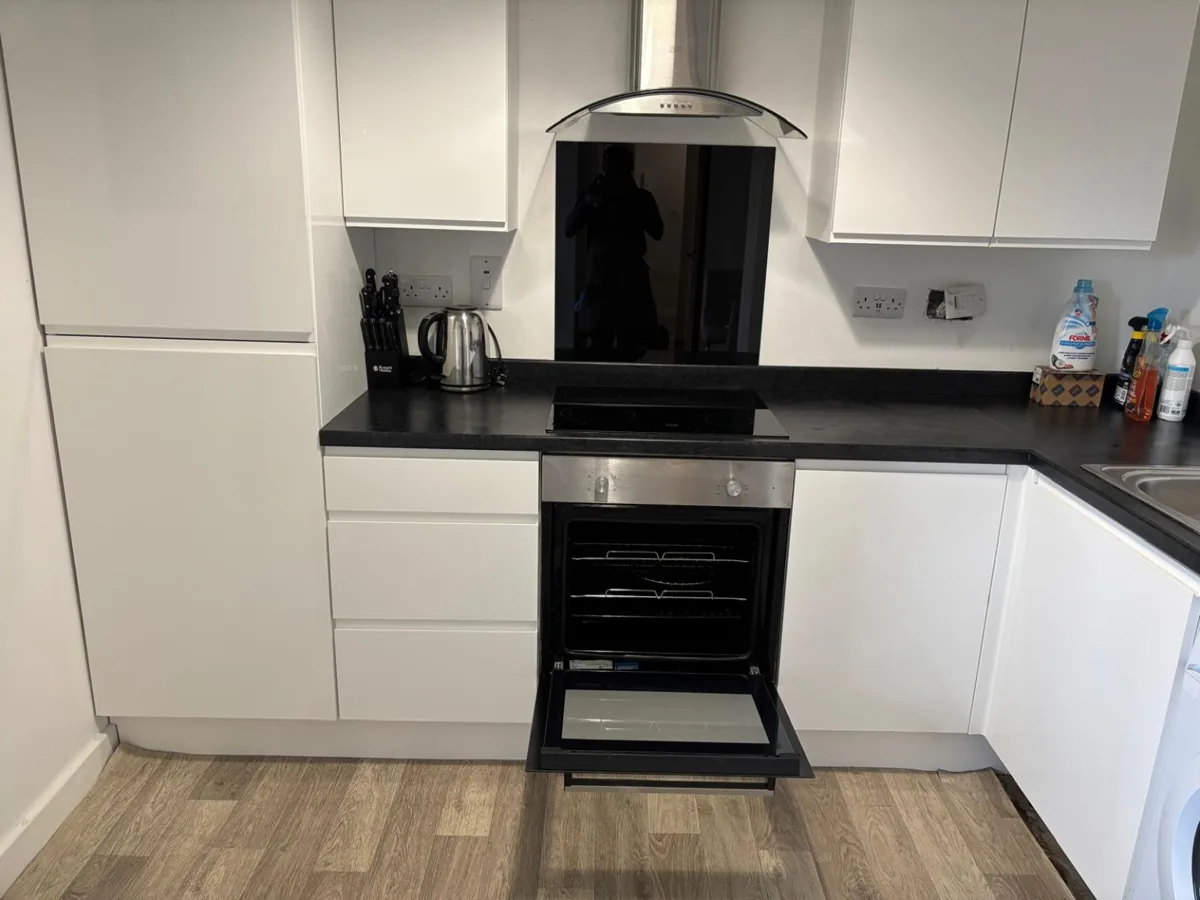
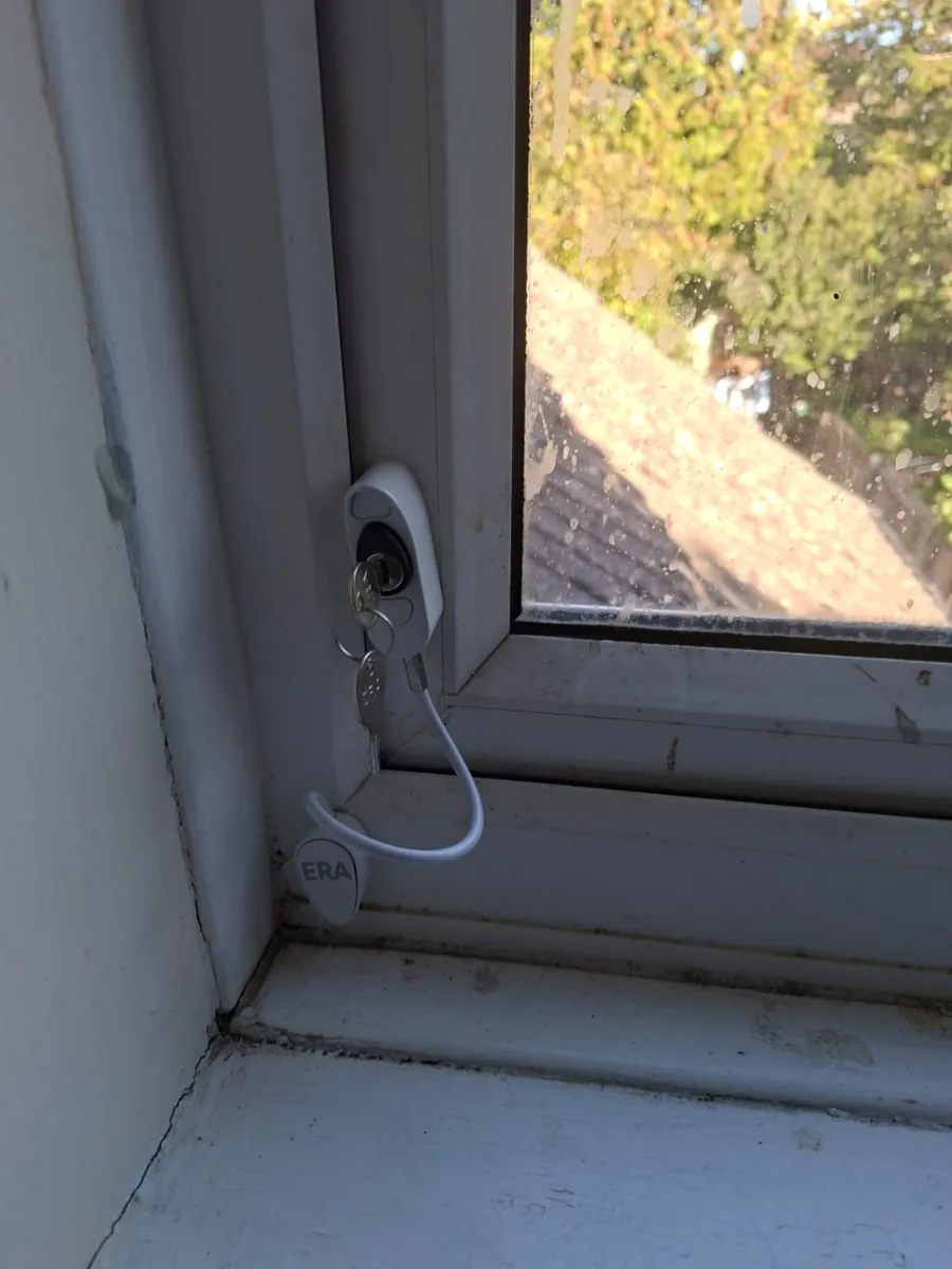
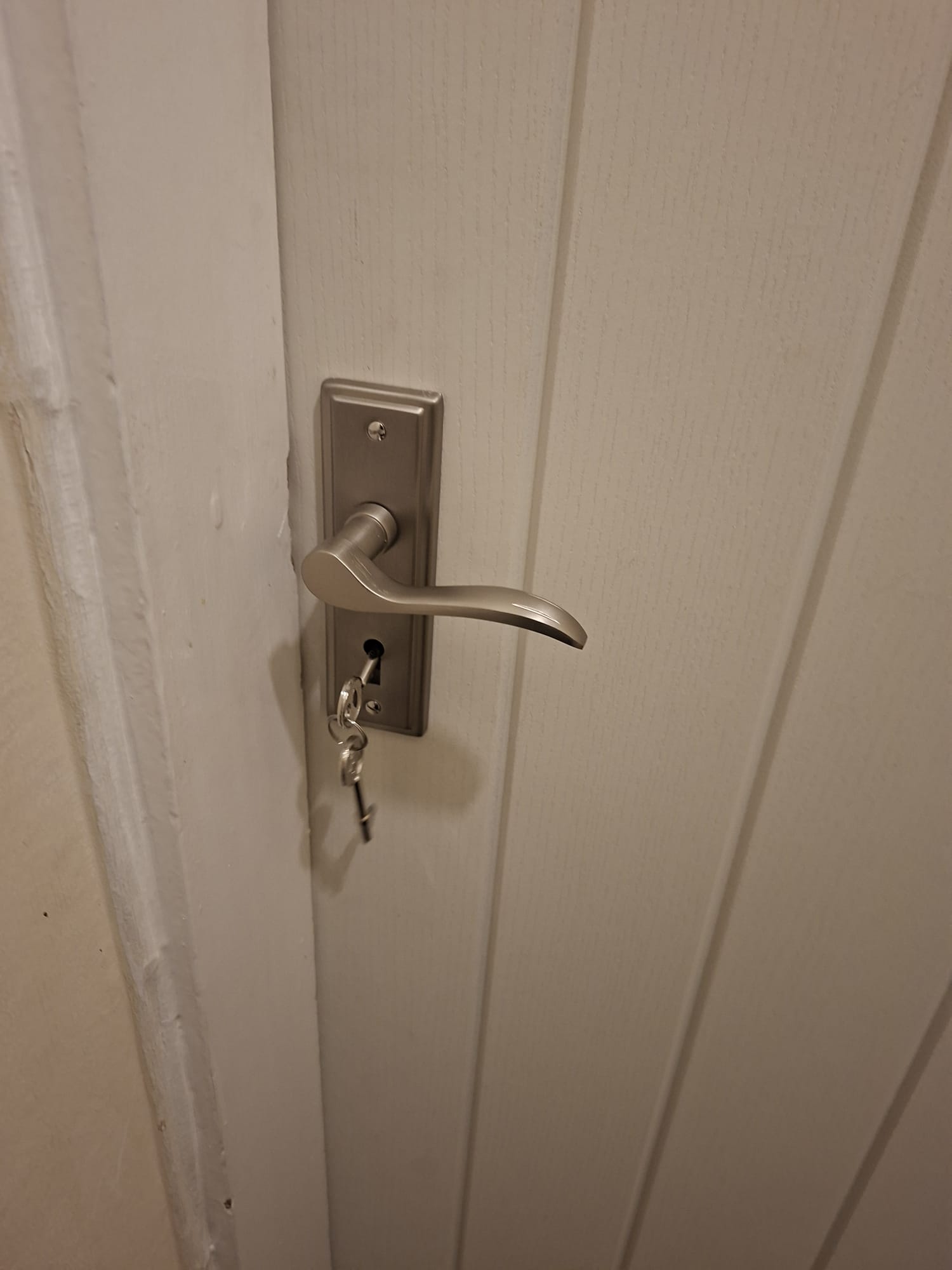
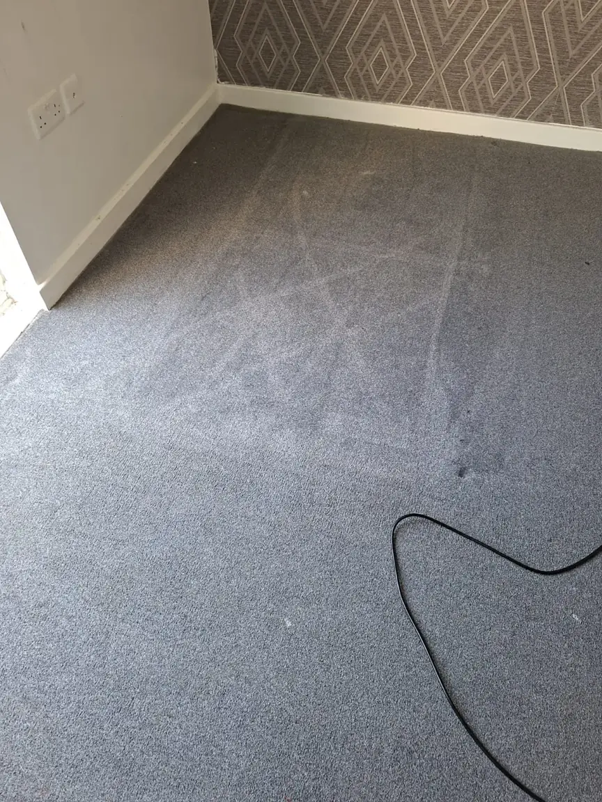
360 Maintenance Solutions provides property maintenance services in Peterborough. Send us your job list and photographs to request a quote.
Frequently asked questions
What county is Peterborough in?
Peterborough is in the ceremonial county of Cambridgeshire. Peterborough City Council is a separate unitary authority responsible for local council services.
Does Peterborough have one postcode?
No. Different addresses have different full postcodes. Use the full address to find the correct one.
Is the PE postcode area the same as Peterborough city?
No. The wider PE postal area extends beyond the city. Postal and council boundaries serve different purposes.
Where can I find a Peterborough city-centre map?
Use the local map in this guide to find the main landmarks. National Rail also provides station and onward-travel maps for people arriving by train.
Where can I check the Peterborough council boundary?
Use the unitary-authority map linked from Peterborough City Council’s official Maps of Peterborough page.
Is Peterborough in England or Canada?
There are places called Peterborough in both countries. This guide covers Peterborough in Cambridgeshire, England. Include "UK" when searching for local attractions, accommodation or directions.
Related guides
360 Maintenance Solutions Ltd — Peterborough property maintenance. Location, council and regional information checked against the sources linked above on 6 November 2026. Map markers are read from OpenStreetMap place data; neighbourhood markers are approximate area centres, not official boundaries. This article explains geography and local government arrangements; it is not legal or boundary advice. Verify individual addresses with Peterborough City Council.